Tracing NYCHA: READING THE CITY
AN INTRO TO NYCHA PROPERTIES
PLANNING
2015
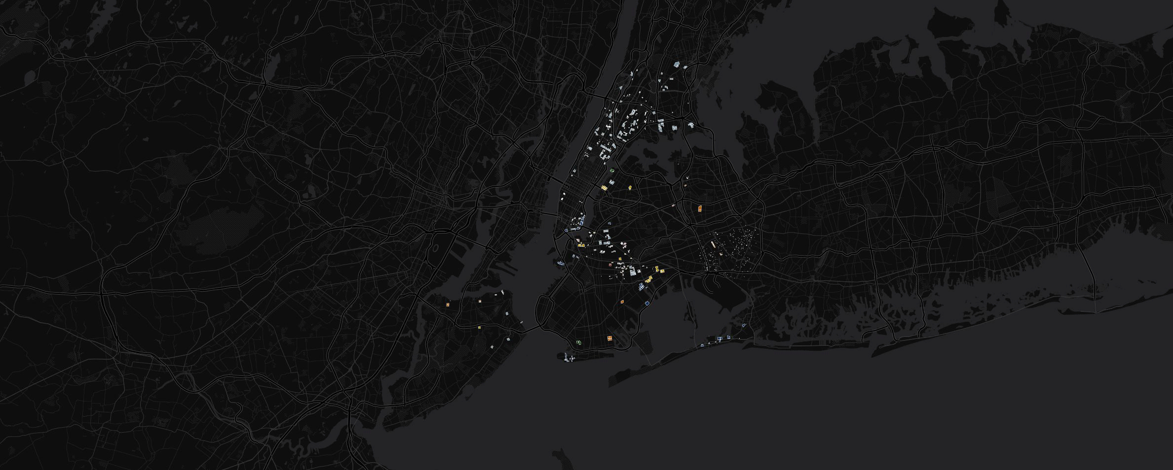
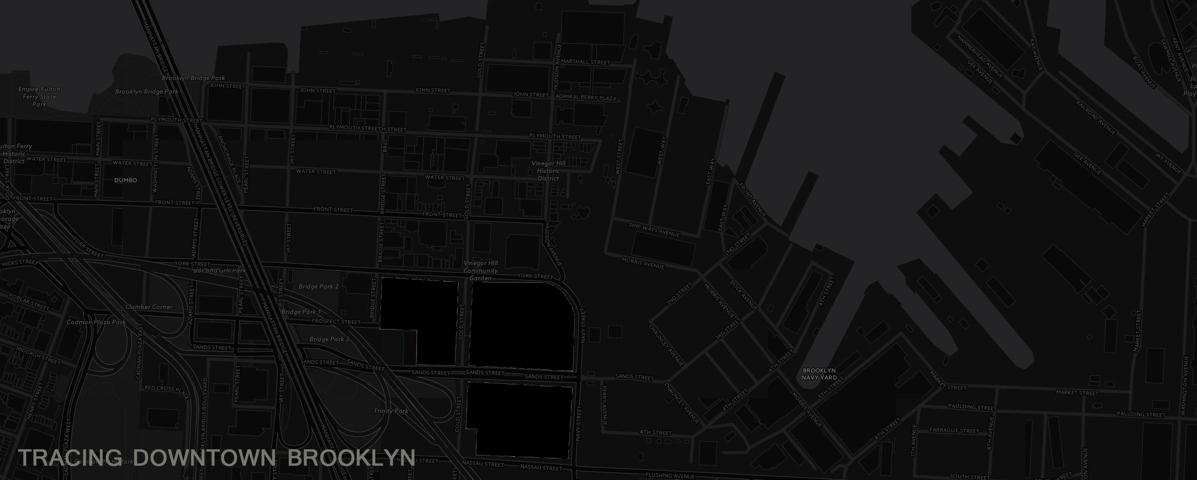
The NYCHA Properties Map is a database of New York City Housing Authority’s Properties, which I was able to quantify and organize through cartodb. This is a useful tool to visualize:
1. The grand scale of NYCHA properties through New York City
2. When NYCHA properties were built
3. What site conditions the properties pertain to
I have used it as an underlay for the following GIFS as linked per below.
Users can manipulate the layers on the maps.
The following legends are:
NYHEZ: Flooding Zones
Doitt_subway_entrances: Subway Entrances
Nycha_developments top: Dates of completion
Nycha_developments: Site conditions
Users can also hover, or click over properties to retrieve data about these properties.
PLANNING
2015
The NYCHA Properties Map is a database of New York City Housing Authority’s Properties, which I was able to quantify and organize through cartodb. This is a useful tool to visualize:
1. The grand scale of NYCHA properties through New York City
2. When NYCHA properties were built
3. What site conditions the properties pertain to
I have used it as an underlay for the following GIFS as linked per below.
Users can manipulate the layers on the maps.
The following legends are:
NYHEZ: Flooding Zones
Doitt_subway_entrances: Subway Entrances
Nycha_developments top: Dates of completion
Nycha_developments: Site conditions
Users can also hover, or click over properties to retrieve data about these properties.